


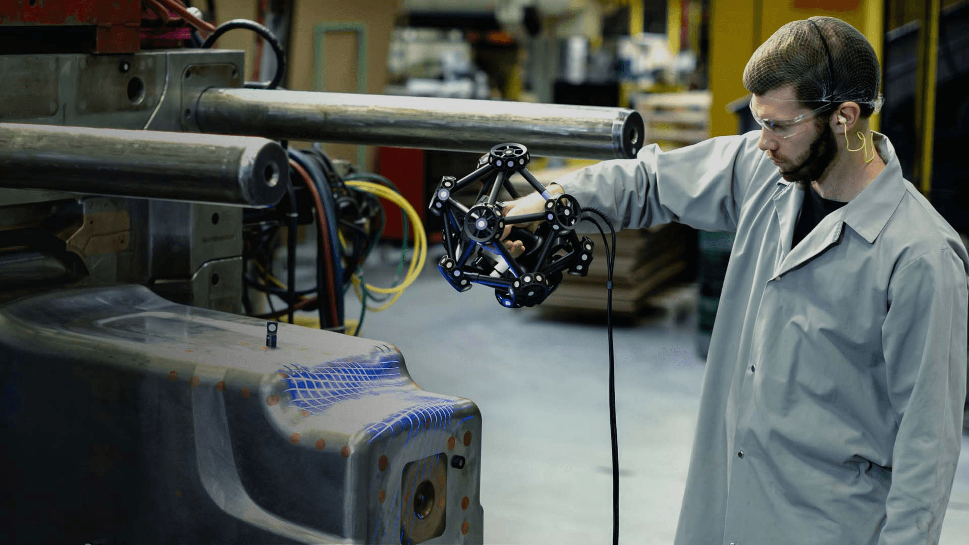
White Space & Infrastructure Capture
Capture accurate spatial data across server halls, cable trays, cooling systems, and critical infrastructure.
Capture existing facility conditions for expansions, infrastructure upgrades, and MEP coordination with reliable 3D data that supports better planning.
Outdated drawings and undocumented infrastructure create costly challenges when upgrading active data centers.
Discuss Your Project
Existing drawings may not reflect changes to equipment, cable trays, and utility pathways.

Limited clearance around mechanical, electrical, and cooling systems complicates installation planning.

Unidentified conflicts between new equipment and existing systems can lead to costly rework.

Missing measurements can require additional site visits and slow engineering decisions.
Capture accurate spatial data across server halls, cable trays, cooling systems, and critical infrastructure.
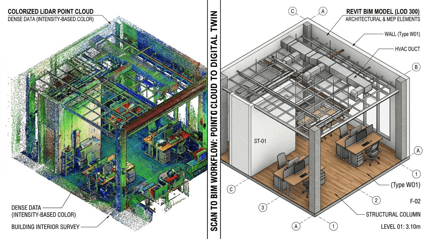
Transform facility scans into coordinated digital models for engineering and expansion planning.
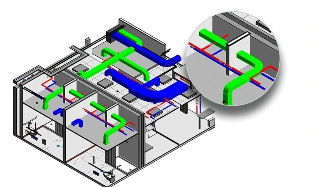
Identify potential conflicts between existing systems and proposed installations.
Receive accurate digital deliverables that help engineering teams plan upgrades, coordinate infrastructure, and make informed decisions.
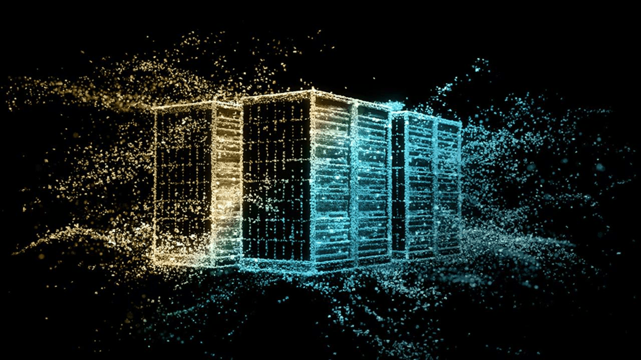
Registered 3D point clouds capture existing facility conditions, equipment locations, and infrastructure geometry for accurate measurements and engineering reference.
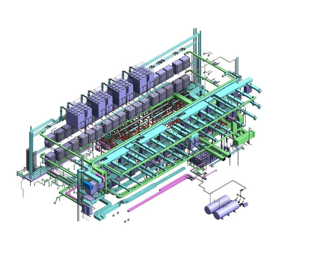
Detailed BIM and CAD models represent existing facility infrastructure, supporting equipment placement, renovation planning, and multidisciplinary engineering coordination.
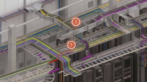
Coordination-ready models and documentation help project teams review system clearances, identify potential clashes, and plan installations with greater confidence.
Careful planning, secure access coordination, and precise data capture for active data center environments.

Define scanning areas, access needs, and deliverables before fieldwork.

Coordinate facility access and follow site-specific security procedures.

Plan scanning activities around active equipment and facility operations.

Align captured data with project and engineering requirements.

Capture reliable spatial data for planning and design decisions.

Confirm required file formats and project handoff expectations.

Get accurate facility data to support infrastructure upgrades, engineering coordination, and expansion planning.
Find answers to common questions about scanning active facilities, project requirements, and technical deliverables.
3D scanning captures accurate measurements of existing data center infrastructure, including equipment layouts, cooling systems, and MEP installations, to support facility documentation and upgrades.
Yes. Many scanning projects can be completed while facilities remain operational, provided appropriate safety procedures, security requirements, and access restrictions are followed.
3D scanning provides accurate information about existing infrastructure, available space, and equipment clearances, helping engineers plan expansions and avoid potential installation conflicts.
3D laser scanning captures mechanical, electrical, and plumbing system locations, helping engineers coordinate equipment installations, identify spatial conflicts, and plan infrastructure modifications.
Professional 3D laser scanning can capture detailed facility measurements with millimeter-level accuracy, depending on the equipment, scanning conditions, and project requirements.
3D scanning creates detailed digital records of existing facility conditions, supporting accurate as-built drawings, infrastructure documentation, and future engineering projects.
Yes. Accurate existing-condition data helps engineering teams identify space limitations, verify equipment clearances, and plan modifications before installation work begins.
Tell us about your facility, project requirements, and expected deliverables. Our team will review your inquiry and help determine the next steps.
Allowed file types: jpg, jpeg, png, gif, txt, pdf, doc, docx, xls, xlsx, odt, ppt, pptx, pps, ppsx, html, and less than 25MB.
